The yosemite high route is not a single signed trail waiting for you at a familiar trailhead. It is a demanding backpacking route concept through Yosemite’s high country, stitched together from established trails, cross-country travel, passes, and careful navigation. The appeal is obvious: granite basins, cold lakes, open ridgelines, and fewer crowds once you leave the easy corridors. The catch is that the map does not care how fit you looked during training.
I approach this route the same way I approach a vehicle build: first decide what the trip actually demands, then remove the weak points. A light pack, reliable navigation, and conservative weather decisions matter more than an expensive pile of specialized equipment. Looks ready and is ready are different things.
What the Yosemite High Route actually involves
Descriptions of the yosemite high route vary because it is generally an informal, route-planning challenge rather than one universally marked trail. It often links portions of the John Muir Trail, the Pacific Crest Trail, Yosemite’s high passes, and cross-country sections. Exact mileage depends on the itinerary, entry point, resupply plan, and how much off-trail travel a party accepts. A five- to seven-day plan is common for a thorough traverse, but strong hikers moving light can design something shorter.
That variation is part of the attraction and part of the trap. A line that looks efficient on Gaia GPS or CalTopo can hide talus, loose scree, brush, cliffy slabs, or a pass that is still holding snow. Contour lines tell you elevation change; they do not tell you whether the last 400 feet require exposed scrambling with a full pack. Read trip reports for terrain descriptions, not just mileage claims, and compare them with current conditions.
The route rewards hikers who enjoy making small decisions all day. Where is the next reliable water source? Is that saddle reasonable in afternoon wind? Can the group cross this snowfield without traction? Those questions matter more than proving a planned line was perfect.
Build an itinerary around exits, not ego
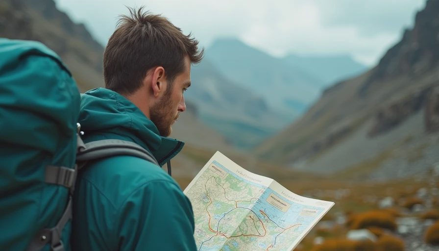
The first planning step for the yosemite high route is identifying practical bailout points. Mark trail junctions, road access, ranger stations, major camps, and places where a party can safely reverse course. Then divide the trip into sections based on terrain and water, not an ambitious number copied from someone else’s trip report.
A useful day might cover 8 to 12 miles with a loaded pack when the route includes steep passes and off-trail navigation. That can drop quickly if snow, heat, or complicated granite slows the group. Plan one flexible day or at least enough food to absorb a weather delay. A schedule with no margin turns a minor blister or navigation mistake into a forced night out.
Water planning deserves its own page in your notebook. High Sierra sources can be seasonal, and a pretty creek on the map is not automatically reliable late in the season. Carry enough capacity for the longest dry stretch, treat every natural source, and keep a reserve rather than arriving at camp with empty bottles. Filters can clog with sediment and freeze overnight, so a chemical backup and a method for protecting the filter are sensible additions.
For the yosemite high route, your route file should include the intended line, alternate lines, exit points, water notes, and offline maps. Carry a paper map and compass anyway. A phone battery percentage is not a navigation strategy.
Permits, regulations, and seasonal timing
Permit requirements depend on your wilderness entry point, itinerary, and whether the route uses areas with quota systems. Yosemite National Park manages wilderness permits, and popular trailheads can be competitive. Start with current National Park Service information instead of relying on an old blog post or a screenshot saved from a busy forum. Rules, quotas, fire restrictions, and camping requirements can change.
Timing is equally important. Early season may bring snow-covered passes, swollen creeks, and difficult route-finding. Late season can offer easier travel but colder nights, shorter daylight, and reduced water availability. Summer thunderstorms are not a minor inconvenience on exposed granite. A clean forecast at the trailhead does not guarantee a clean forecast at elevation.
For the yosemite high route, confirm food-storage requirements and carry an approved bear-resistant canister if required for your itinerary. Practice packing it before departure. A canister that technically holds your food but cannot fit efficiently in your pack is a garage decision with trail consequences. Keep scented items organized, and never assume hanging a food bag is acceptable everywhere.
Gear that earns its weight
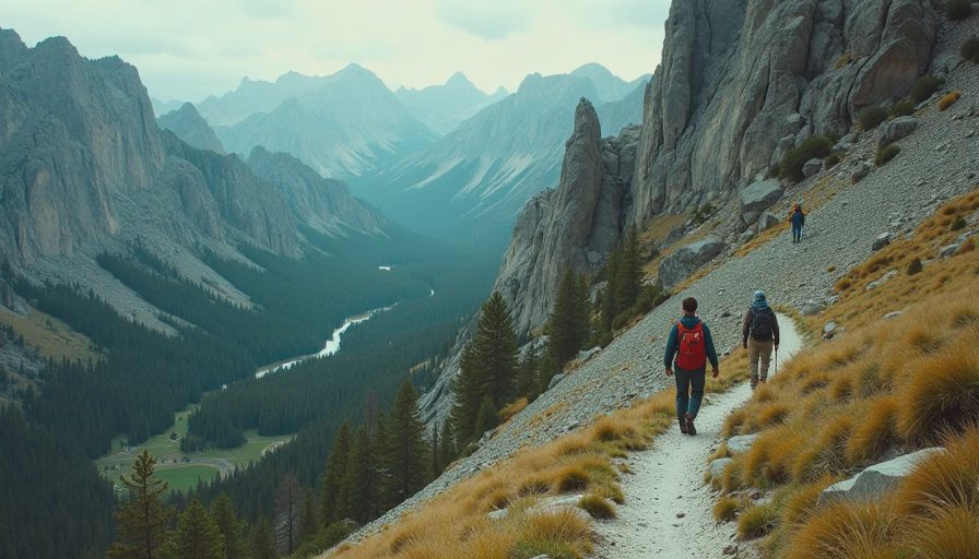
The best pack for the yosemite high route is not necessarily the lightest pack on a gear list. It is the pack that keeps essential systems working when the trip gets cold, wet, or inconvenient. Bring a shelter appropriate for wind and storms, a sleeping bag or quilt rated for expected nighttime temperatures, and a pad that insulates from granite rather than merely looking comfortable online.
Footwear deserves honest testing. Lightweight trail runners can be excellent on dry trail, but they offer less protection and warmth in talus, snow, and wet conditions. Sturdy boots are not automatically better; blisters and fatigue can erase their advantages. Wear your chosen footwear on long climbs with the same socks and load you will use in the Sierra.
Navigation equipment should include an offline phone app such as Gaia GPS or CalTopo, a power bank, a paper map, and a compass. Save battery by keeping the phone in airplane mode and using it for deliberate checks instead of constant tracking. Trekking poles help with steep descents, creek crossings, and balance on loose terrain. If snow travel is possible, traction and an ice axe require actual practice, not just space in the pack.
Pace, weather, and group judgment
A group attempting the yosemite high route should agree before departure that turning around is a successful decision when conditions exceed the plan. That sentence sounds easy until the party has spent months arranging time off and has a beautiful pass directly ahead. The trail finds the weak point, and sometimes the weak point is a schedule.
Start early for exposed passes, build breaks around water, and keep the slowest hiker involved in decisions. Watch for headache, unusual fatigue, poor coordination, and nausea, especially during rapid elevation gain. Those symptoms deserve rest, fluids, food, and a serious decision about descending; stubbornness is not acclimatization.
Lightning, high winds, poor visibility, and unstable snow all change the risk calculation. Do not wait for the dramatic moment when retreat becomes obvious. If the forecast worsens, shorten the day, use a lower route, or leave the high country while the route is still simple. A good trip is measured by what everyone brings home, not by whether a line on a map was completed.
A practical final check
Before leaving for the yosemite high route, share your itinerary and expected return date with someone who will notice if you are late. Confirm permits, parking or shuttle details, water capacity, food-storage rules, and current fire restrictions. Download maps for the entire route and test them without service. Weigh the loaded pack, then remove one item that solves a problem you probably will not have.
On the final morning, inspect your feet, charge your electronics, and check the forecast one more time. Tell the group what would trigger a retreat: a lost route, unsafe snow, a sick hiker, or weather moving in early. Clear rules reduce arguments when everyone is tired.
The yosemite high route can deliver the kind of trip people remember for years, but it does not reward fantasy. Build around terrain, water, weather, and exits. Carry equipment you have already used. Leave room for a slower day. The granite will still be there next season, and no photograph is worth turning a hard backpack into a rescue problem.


No comments yet — be the first to share a thought.