An altimeter watch is useful trail gear when you understand what it can and cannot tell you. Elevation data helps with route planning, weather awareness, and checking whether a paper map matches the ground under your tires. It does not replace a GPS, a weather radio, or plain judgment. I have watched drivers spend more time comparing watch specifications than checking their spare tire pressure. That is backwards. Gear is only useful when it improves a decision.
What an altimeter watch actually measures
An altimeter watch estimates elevation, usually through barometric pressure or GPS. A barometric sensor notices changes in air pressure and converts them into an elevation reading. Since pressure also changes with weather, the watch needs calibration. A GPS-based device calculates altitude from satellite signals, but readings can jump around in canyons, under heavy trees, or when satellite coverage is poor.
That distinction matters on a mountain trip. If a watch says you climbed from 5,800 feet to 8,200 feet, the trend is probably valuable even if the exact number is off by several dozen feet. For route planning, knowing that you are gaining elevation quickly is often more useful than claiming a perfectly precise position.
A good altimeter watch should let you set a known elevation or pressure reference. Trailheads, survey markers, map contours, and established campsites can all provide a starting point. Without calibration, the watch can slowly drift and give you a confident-looking number that is wrong. The screen does not know whether a storm moved in while you were driving.
For most overland travelers, the best use is relative information: rising, descending, holding steady, or suddenly changing. That turns a small wrist device into another useful field note rather than a magic navigation system.
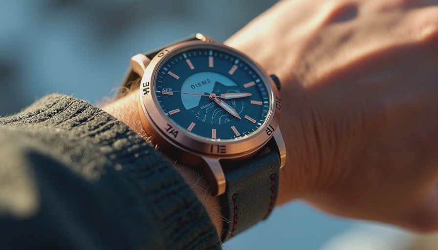
Features worth paying for
The case should survive wet weather, dust, vibration, and the occasional hard knock against a door frame. Look for water resistance appropriate to the manufacturer’s rating, readable buttons, and a display that works in direct sun. A bright touchscreen is convenient at camp, but physical buttons are easier to use with cold fingers or gloves.
Battery life is a major dividing line. Some outdoor watches run for several days in normal smartwatch mode but lose power quickly with continuous GPS tracking. If your route includes two nights away from an outlet, check the advertised GPS runtime rather than the headline battery figure. Garmin, Suunto, and COROS all offer outdoor-oriented models with different balances between mapping, sensors, battery life, and price. A $250 to $450 watch can cover the needs of many trail users; premium models can push past $700 without making a poor route plan smarter.
An altimeter watch with a compass, barometer, storm alert, and track recording can be genuinely useful. Heart-rate and training features are less important if the watch spends most of its life on a dashboard or under a jacket sleeve. Buy the features you will use at 6 a.m. in blowing snow, not the ones that look impressive on a product page.
Barometric versus GPS elevation
Barometric elevation is usually smoother for tracking a climb, but it requires calibration and can be affected by changing weather. GPS elevation is independent of local air pressure, yet it often has more noise. Some watches combine both sources, which is generally the most practical arrangement for backcountry travel.
Here is a simple example. You park at a known trailhead at 7,100 feet and calibrate the watch. Six hours later, a pressure change from an approaching storm makes the device display 6,700 feet even though your vehicle has not moved. That does not mean the sensor failed; it means the watch interpreted lower pressure as higher elevation. Recalibrate when you reach a known point, and compare the reading against your topographic map.
An altimeter watch is strongest when used with other information. Match its reading with a GPS track, route map, landmarks, and the actual slope in front of you. If all four disagree, stop and sort out the problem before continuing. The trail finds the weak point in assumptions just as quickly as it finds the weak point in a suspension setup.
How I would use one on a trip
Before leaving home, charge the watch, update its software and maps if applicable, and record the starting elevation. Confirm the time zone and units, then test the compass away from your truck’s steel body and recovery equipment. If the watch offers storm alerts, learn what the alert actually measures. A pressure trend can warn that conditions are changing, but it cannot promise a specific amount of rain or snow.
At the trailhead, calibrate the altimeter and save a waypoint. During the drive, glance at the elevation trend during planned stops instead of staring at your wrist while moving. At camp, compare your reading with the map and note any large discrepancy. The next morning, recalibrate if the weather changed sharply overnight.
This process takes less than five minutes and prevents a common mistake: treating a measurement as a fact simply because it appears on a color screen. The watch should support your route plan, not become the route plan.
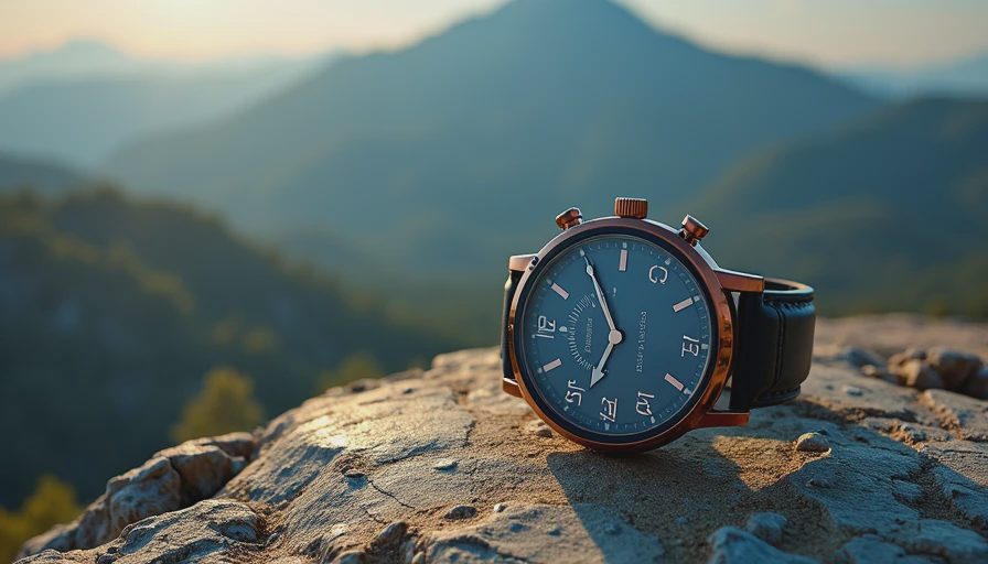
Common buying mistakes
The first mistake is choosing a bulky model that never gets worn. Large cases can catch on seat belts, tent fabric, and jacket cuffs. If you dislike wearing it around town, you are unlikely to wear it when conditions get complicated. A slightly smaller watch with dependable buttons often beats a feature-packed model left in a drawer.
The second mistake is ignoring charging. A watch that needs a proprietary cable can become inconvenient on a long trip, especially when the only power source is a small vehicle inverter or solar panel. Pack the cable in the same pouch as your navigation equipment and test the charging setup before departure.
The third mistake is confusing elevation with location. An altimeter watch cannot tell you that a road is open, that a creek crossing is safe, or that your group has enough fuel. It can show that you are climbing, descending, or sitting at a higher elevation than expected. Those clues are valuable, but they still require judgment.
Finally, do not pay for a titanium case, sapphire glass, or expedition branding if your real problem is poor route preparation. Spend first on a quality tire repair kit, compressor, recovery points, and a paper map. Looks ready and is ready are different things.
The practical verdict for trail users
An altimeter watch makes sense for hikers, overlanders, hunters, and drivers who regularly cross changing terrain. It is especially handy when a trip moves from desert roads into high forest, where temperature, weather, and vehicle performance can change over a few hours. It is less useful for a casual day drive on marked roads where a phone already handles navigation and elevation well enough.
Choose a durable model with reliable battery life, a barometer, compass, readable controls, and a calibration function. Treat premium training metrics as optional. Learn the device at home, use it alongside maps and GPS, and keep a written backup for important elevations and route notes.
The best altimeter watch is not the one with the longest feature list. It is the one you can read quickly, trust within its limits, and keep charged when the weather turns. That is a garage decision with trail consequences. Spend accordingly, then get back to preparing the vehicle and the people inside it.
No comments yet — be the first to share a thought.